Olentangy River Corridor Study


DETAILS
Services: Conceptual Design / Master Planning
Location: Columbus, Ohio
Size: +850 acres
Client: The Ohio State University Planning, Architecture & Real Estate Development
Completion Date: 2017
PROJECT TEAM
West 8, Landscape Architect
REALM, Landscape Architect
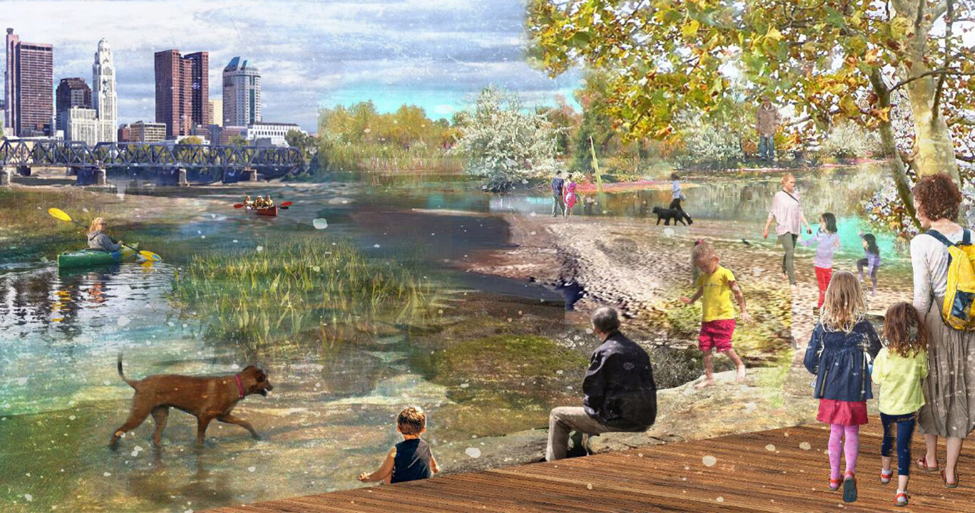
Connecting to nature: In turning back toward the River, we can unlock the greatest natural resource of the city to leverage for development opportunity and new connections between the two largest population centers from downtown Columbus to The Ohio State University.
The big idea: “Reframing the River” focused on the future of mobility in Columbus, with an emphasis on the prioritization of the pedestrian and the quality of life in the city above vehicular movement. The vision proposed the creation of “The Loop” which connects primary circulation routes of a future High Street Transit Corridor, Broad Street Neighborhood Connector and Olentangy River Parkway.
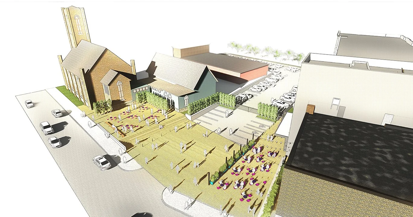
The strategies: In addition to improving mobility and transit connections through the new densified river corridor, the creation of programmatic strategies to focus on distinct spaces for new neighborhood developments emerge. These new amenities would include: The Cannon Bicycle and Pedestrian Promenade, Buckeye Boulevard and Buckeye Beach - highlighting 850+ acres of new riverfront development and accessible green space.